
Weather Images created by WeatherWX.com
Published May 6, 2021
By Meteorologist Mark Baldwin –
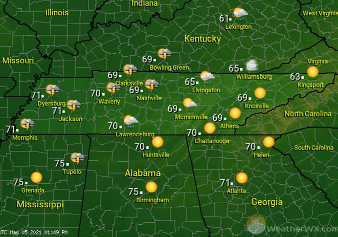
After morning fog burns off, look for lots of sunshine for much of the state. During the afternoon, showers and thunderstorms are expected to move into West Tennessee from the west. Some of those thunderstorms could be strong, possibly severe, with hail and a damaging wind gust being the main threats. Those storms are expected to weaken as they move into Middle Tennessee after sunset.
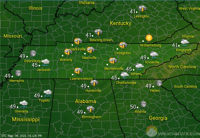
A cold front will push an area of showers and storms across the state during the night. Look for skies to slowly clear from west to east after midnight. A northerly breeze will bring cooler temps and clearing skies into the state behind the front.
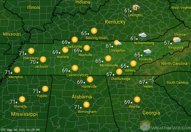
A northwest breeze will bring low humidity and pleasant temperatures to the Volunteer state on Friday! Abundant sunshine for much of the state will lead to pleasant afternoon highs. Lingering showers should exit East Tennessee by the afternoon.
Visit Meteorologist Mark Baldwin on Twitter, Facebook and at meteorologistmark.com.

