Weather Images created by WeatherWX.com
Published July 16, 2021
By Meteorologist Mark Baldwin –
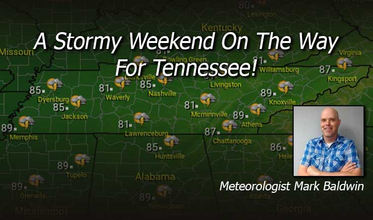
It’s a hot and humid end to the workweek in Tennessee. Scattered afternoon and evening thunderstorms will bring relief from the heat for some of us. Those rain chances vary from about 50% in the west, to around 30% in the east. Afternoon highs will climb to near 90 degrees statewide.
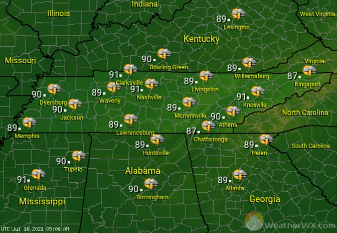
A warm and muggy night will likely support a few showers and thunderstorms into the night. Overnight lows will be near 70 degrees.
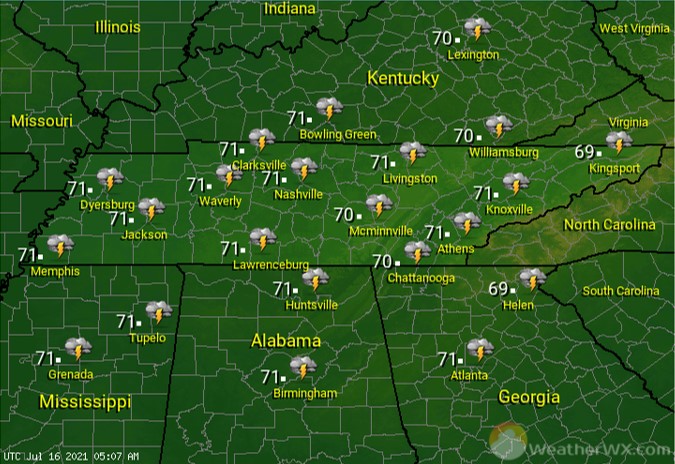
Showers and thunderstorms are likely for everyone for Saturday. Some of the thunderstorms could produce heavy rainfall, deadly lightning, and gusty winds. Cloudier skies and increasing rain chances will keep high temps in the 80s.

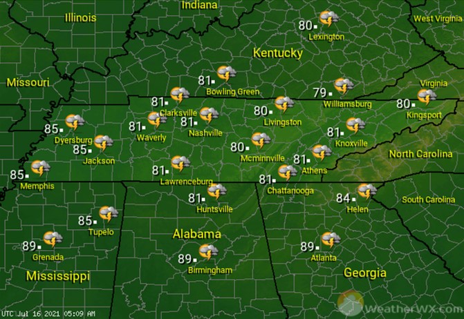
The weekend will likely end much the way it starts, with widespread showers and thunderstorms across the state. Heavy rainfall, deadly lightning, and gusty winds are all possible with any storm. Afternoon highs will climb into the 80s.
Visit Meteorologist Mark Baldwin on Twitter, Facebook and at meteorologistmark.com.

