Weather Images created by WeatherWX.com
Published June 7, 2021
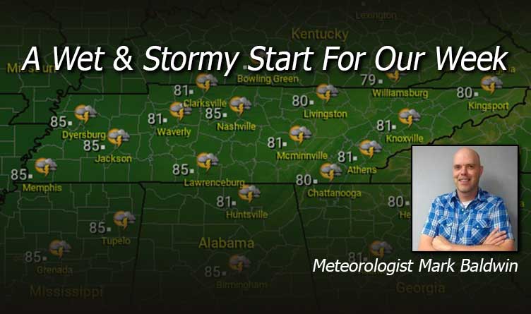
By Meteorologist Mark Baldwin –
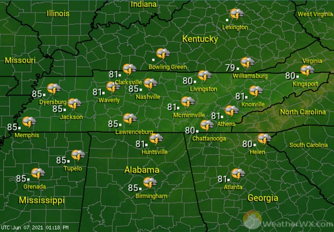
It’s a wet Monday for much of the Volunteer state, with scattered showers and thunderstorms from Memphis to Bristol. Any storm that develops today will be capable of deadly cloud-to-ground lightning, gusty winds, and torrential downpours of rain.
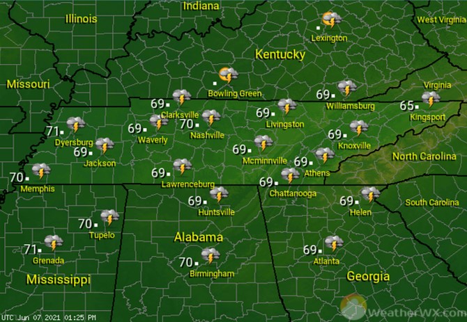
It will be a warm and muggy night across the area, with a chance for a shower or thunderstorm. Clouds and southerly breezes will keep temperatures uniform and around 70 degrees for everyone.
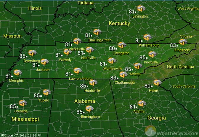
It’s another day of cloudy skies and dodging scattered showers and thunderstorms. Like on Monday, any storm that develops will be capable of producing deadly cloud-to-ground lightning, gusty winds, and very heavy rainfall. Thunderstorms will likely be most common in the afternoon hours.
Visit Meteorologist Mark Baldwin on Twitter, Facebook and at meteorologistmark.com.