Weather Images created by WeatherWX.com
By Meteorologist Mark Baldwin –
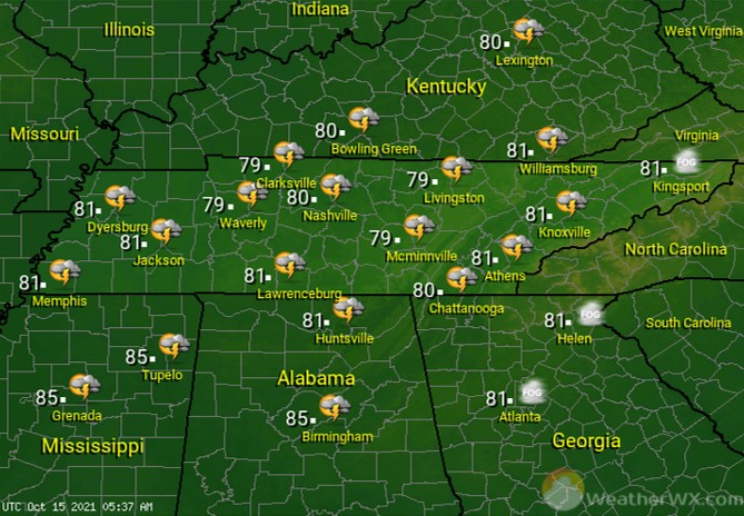
Showers and thunderstorms will be possible throughout the day, as a strong storm system approaches from the west. Southerly winds ahead of this system could become gusty by the afternoon and evening hours. A few thunderstorms could be severe across mainly West Tennessee. Afternoon highs will climb to near 80 degrees.
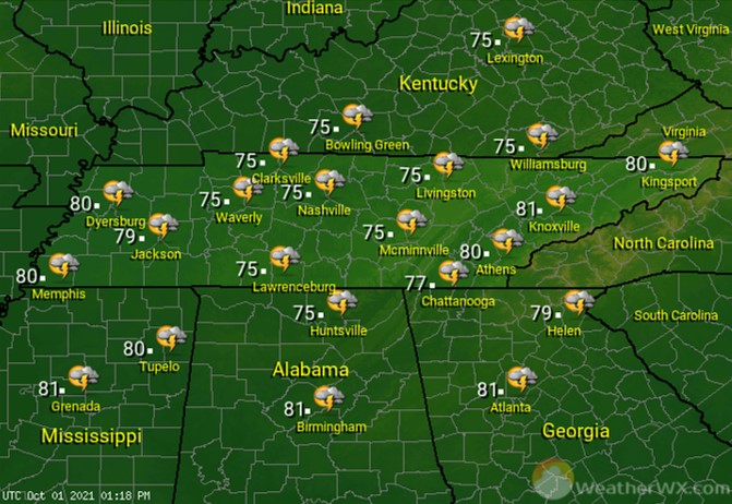
Showers and thunderstorms become likely statewide, as a strong cold front crosses the region. Temps will cool rapidly behind the front. Overnight lows will range from the 40s across West Tennessee behind the cold front, to the upper 50s in East Tennessee ahead of the front.

A few showers are possible the first half of the day in East Tennessee. Otherwise, much of the rest of the state will see partly to mostly sunny skies. It’s a cooler day, with highs only in the 60s statewide.

Look for a beautiful second half of the weekend, abundant sunshine and pleasant afternoon high temps.
Visit Meteorologist Mark Baldwin on Twitter, Facebook and at meteorologistmark.com.