Weather Images created by WeatherWX.com
Published August 19, 2021
By Meteorologist Mark Baldwin –
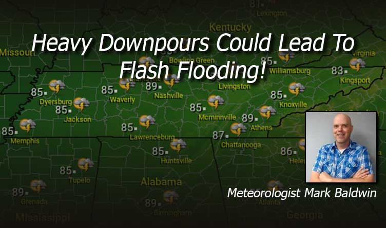
A wetter pattern continues for the state today, with scattered showers and thunderstorms likely. Severe weather is not expected, but any storm could easily produce heavy downpours of rain that could lead to localized flash flooding. Clouds and showers will keep afternoon highs in the 80s.
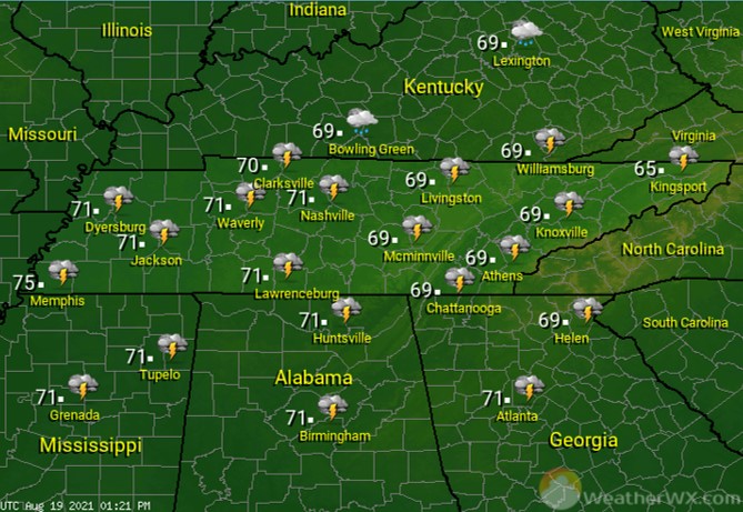
Rain chances continue overnight, along with some rumbles of thunder. Overnight lows will be near 70 degrees.
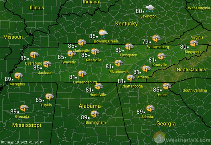
The radar will light up with more scattered showers and thunderstorms for Friday, especially in the afternoon and evening. A later start to the storms will allow high temps to be warmer than on Thursday, climbing into the mid to upper 80s for most.

Visit Meteorologist Mark Baldwin on Twitter, Facebook and at meteorologistmark.com.

