Weather Images created by WeatherWX.com
By Meteorologist Mark Baldwin –
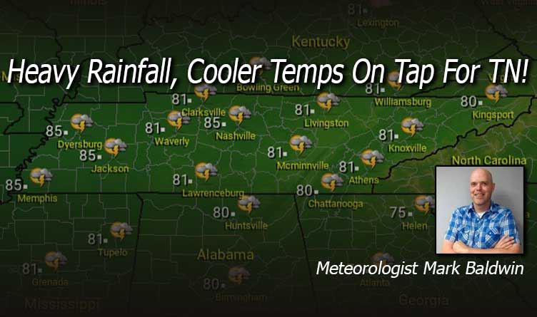
A cold front and tropical moisture from the remnants of “Nicholas” will lead to scattered showers and thunderstorms across Tennessee today. Some of that rainfall could be heavy, especially across Middle Tennessee. Flash flood watches are in effect for much of Middle Tennessee until 7:00 p.m., so be aware of rapidly rising waters with heavier downpours. Afternoon highs will be near 80 degrees statewide.
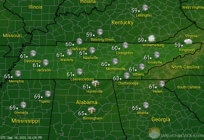
Scattered showers and thunderstorms continue for the overnight hours. Low temps will be in the 60s statewide.
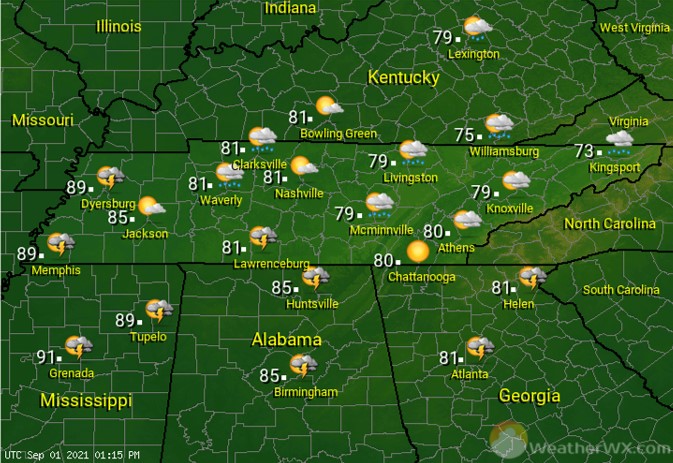
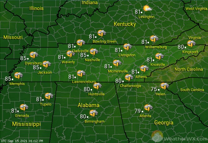
A warm and humid Thursday will lead to more shower and thunderstorm chances, especially in the afternoon. Those showers and storms will be most likely across East Tennessee, with a 50% chance of rain forecast for that region. Rain chances across the rest of the state are set at 30%. Afternoon highs will climb into the mid 80s where rain chances are lower, and only around 80 degrees across East Tennessee.
Visit Meteorologist Mark Baldwin on Twitter, Facebook and at meteorologistmark.com.

