
Weather Images created by WeatherWX.com
By Meteorologist Mark Baldwin –
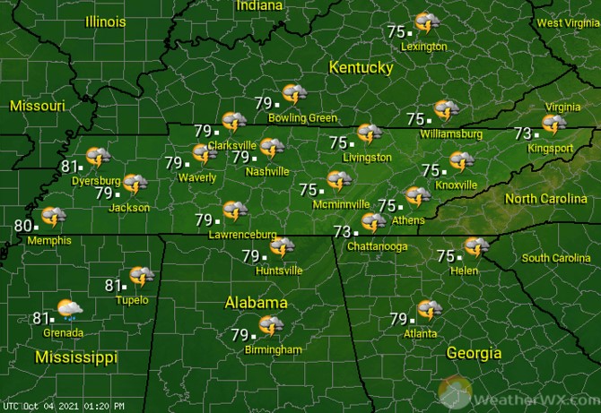
A system that brought severe storms to the southern plains on Sunday will be weakening as it moves into West Tennessee today. Nevertheless, an isolated strong to severe storm remains possible with this activity there today. Much of the rest of the state will see partly to mostly sunny skies. Winds will pick up as we go through the day, becoming quite breezy for many of us by the afternoon. Afternoon highs will climb to near 80 degrees statewide.
The weakening frontal system continues moving east into the night, bringing a chance for scattered showers and a thunderstorm to Middle Tennessee. Severe weather is not expected overnight. Overnight lows will be near 60 degrees statewide.

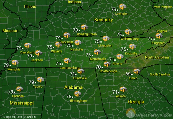
Partly to mostly sunny skies are expected for Tuesday. Some of those clouds may drop a shower on the Cumberland Plateau and southeast Tennessee. Many of us stay dry and partly to mostly sunny. Comfortable afternoon high temps top out in the mid to upper 70s.
Visit Meteorologist Mark Baldwin on Twitter, Facebook and at meteorologistmark.com.