Weather Images created by WeatherWX.com
By Meteorologist Mark Baldwin –
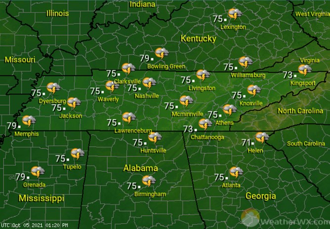
Morning fog in East Tennessee will burn off by mid-morning, leaving partly to mostly sunny skies across the state for Wednesday. There is a chance that one or two showers or thunderstorms could develop from those clouds across northern West and Middle Tennessee. Most of us will stay dry today. Afternoon highs will climb into the mid 80s where there’s more sunshine in West Tennessee, and near 80 degrees for the rest of us.
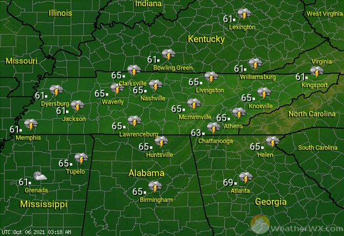
Under fair to partly cloudy skies, patchy dense fog is expected across the Cumberland Plateau and East Tennessee. Mild overnight lows will range from near 70 in the west to near 60 degrees in the east.
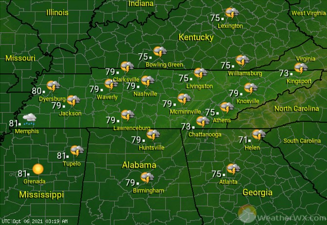
Partly to mostly sunny skies can be expected once again for Thursday. The better rain chances this day will be across West Tennessee, where a 30% chance for a shower can be found. Most of us stay dry. Afternoon highs will be in the low to mid 80s across the state.
Visit Meteorologist Mark Baldwin on Twitter, Facebook and at meteorologistmark.com.