Weather Images created by WeatherWX.com
By Meteorologist Mark Baldwin –
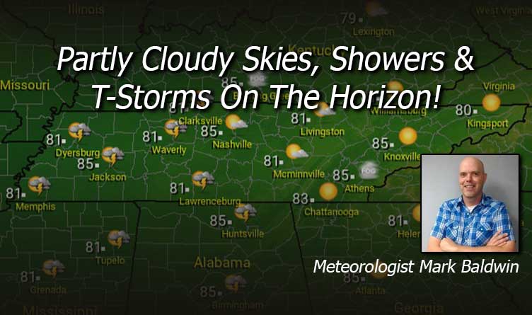
Morning fog will give way to abundant sunshine across the state for our Wednesday. By this afternoon and evening, a few isolated showers or storms may develop across West Tennessee. Afternoon highs will top out in the low to mid 80s across the state.
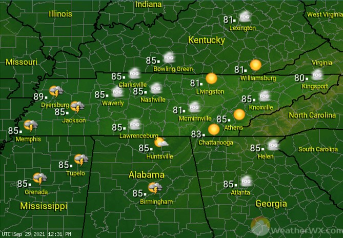
A few evening storms may linger into the evening for West Tennessee. Otherwise, clear skies will give way to a foggy night for much of the state. Patchy dense fog is likely, so be safe if you plan to be out driving tonight. Overnight lows will fall into the low to mid 60s for most.

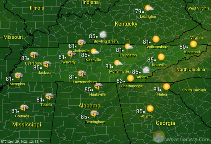
Showers and storms are expected to be a bit more numerous across West Tennessee on Thursday. The rest of the state will see fair to partly cloudy skies. Afternoon highs will once again rise into the low to mid 80s statewide.
Visit Meteorologist Mark Baldwin on Twitter, Facebook and at meteorologistmark.com.