Weather Images created by WeatherWX.com
Published August 20, 2021
By Meteorologist Mark Baldwin –
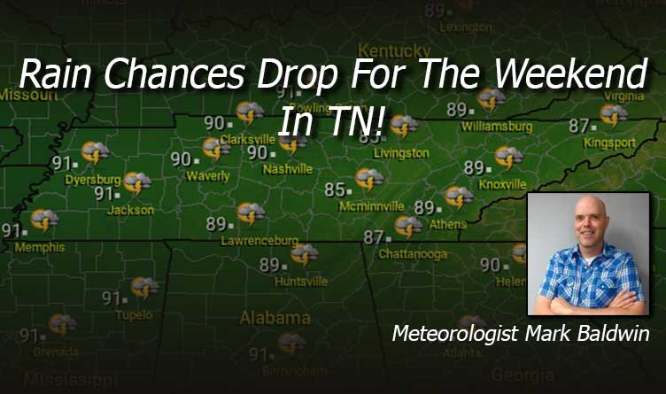
Scattered showers and thunderstorms will be developing across the state again today. Rain chances decrease from west to east. The Memphis area can look for a 70% chance of rain, mainly this morning, while those chances drop to about 30% for the Knoxville area. Everyone will be warm and humid, with afternoon highs in the mid to upper 80s.
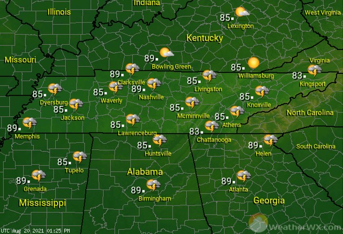
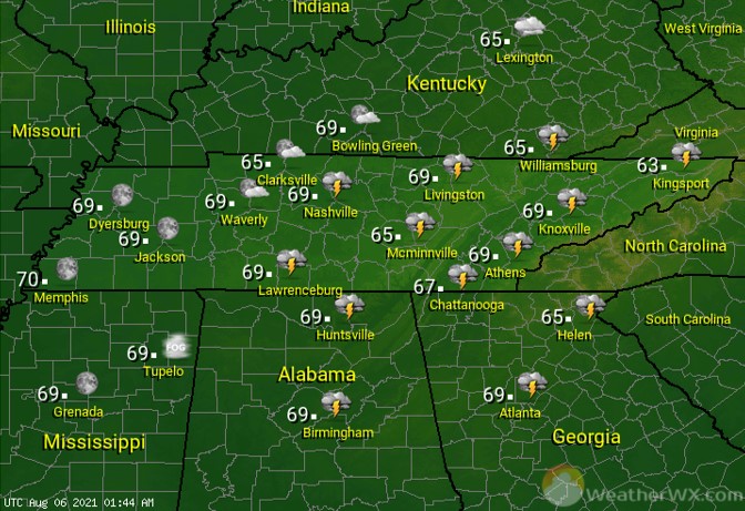
An evening storm is possible, especially across West and Middle Tennessee. Otherwise, skies should be partly cloudy. Overnight lows will be near 70 degrees for most.
Rain chances drop on Saturday but there will continue to be the threat of some rain and thunder. Rain chances are once again highest in the west and lowest in the east. The Memphis area can expect a 50% chance for showers and storms, while those chances drop to around 30% for East Tennessee. Afternoon highs will be in the mid to upper 80s.

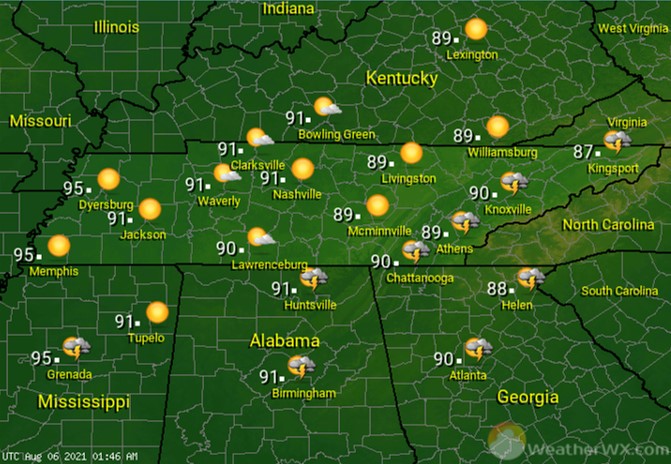
Only an isolated shower or storm is forecast for Sunday. Most of us should stay dry. Afternoon highs will climb to near 90 degrees for much of the state.
Visit Meteorologist Mark Baldwin on Twitter, Facebook and at meteorologistmark.com.

