Weather Images created by WeatherWX.com
By Meteorologist Mark Baldwin –
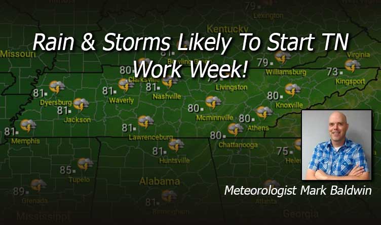
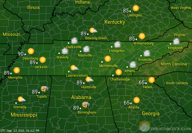
Rain and storms are likely for the start of the new work week. Some of that rainfall could be heavy. Flash flood watches are in effect for all of West and Middle Tennessee. Those watches extend into the Chattanooga area, as well. Be careful in flood-prone areas and never drive across flooded roads. Afternoon highs will be near 80 degrees.
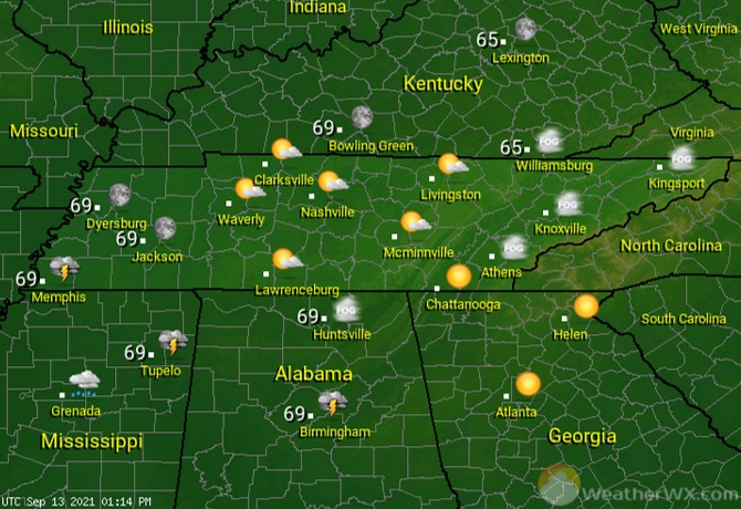
Scattered showers and thunderstorms continue into the evening. Low temperatures should drop to near 70 degrees.
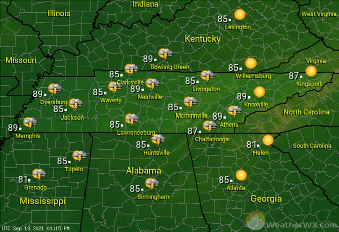
A strong cold front will move into the state for Tuesday and Tuesday night, bringing scattered showers and thunderstorms. Some of the storms could be on the strong side. Afternoon highs will once again top out near 80 degrees for most.
Visit Meteorologist Mark Baldwin on Twitter, Facebook and at meteorologistmark.com.

