Weather Images created by WeatherWX.com
Published July 13, 2021
By Meteorologist Mark Baldwin –
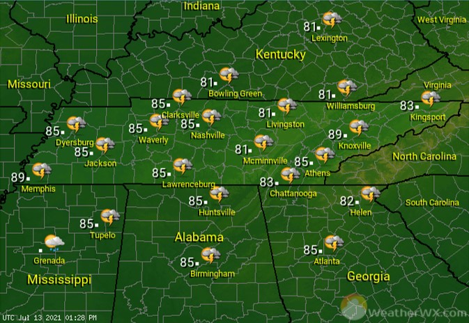
Scattered showers and thunderstorms will be likely statewide today. Any storm that develops could produce heavy rainfall. Afternoon highs will climb into the low to mid 80s for most.
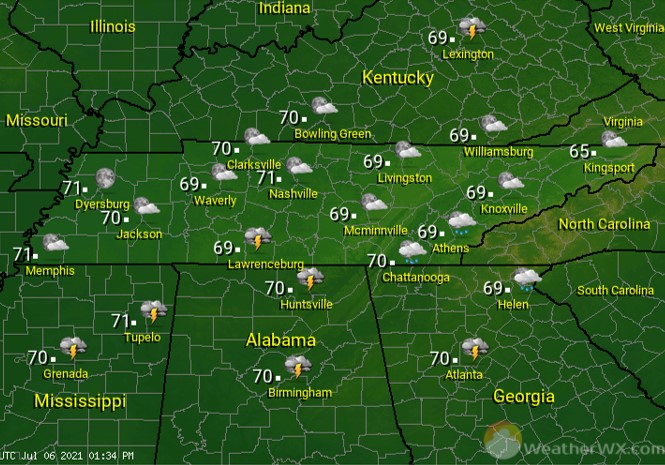
Showers and thunderstorms should end from west to east overnight, with all precip having cleared out of the state by Wednesday morning. Overnight lows will be warm and muggy and near 70 degrees.
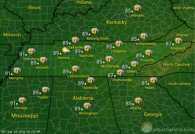
Rain chances drop to around 30% across the area for Wednesday. That rain chance will come in the form of typical Tennessee summertime afternoon storms. Many of us should stay dry. Just be mindful of any storm if you have outdoor plans and be careful around any lightning. With lower rain chances, afternoon highs will be able to warm into the mid to upper 80s.
Visit Meteorologist Mark Baldwin on Twitter, Facebook and at meteorologistmark.com.