Weather Images created by WeatherWX.com
Published July 30, 2021
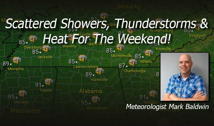
By Meteorologist Mark Baldwin –
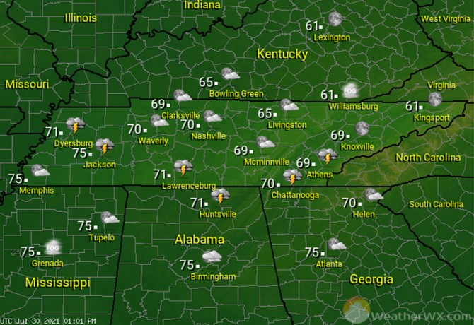
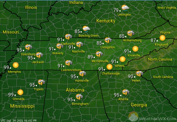
It’s another hot and humid day across the state, with a few afternoon and evening showers and storms possible. Storm chances are lowest across West Tennessee. Those lower rain chances will allow them to heat up into the mid to upper 90s. The rest of the state will see high temps around 90.

A few showers and storms may linger into the overnight hours for southern and western portions of the state. Otherwise, look for partly cloudy skies and warm overnight low temps.
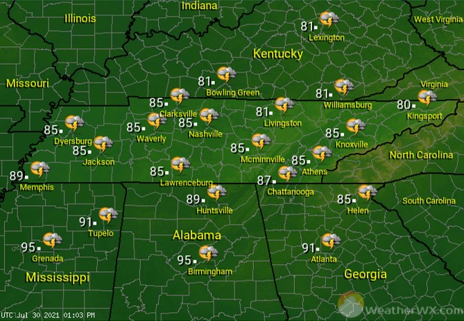
Thunderstorms will be isolated on Saturday. Many of us will stay hot and dry. Afternoon high temps in the 90s are expected for everyone except the plateau and upper East Tennessee, where highs will stay in the 80s. Overnight storms are expected to move in from the northwest and some of those could be strong.
Scattered showers and thunderstorms are likely for much of the state on Sunday, especially the first half of the day. Clouds and rain will keep afternoon high temperatures in the low to mid 80s.
Visit Meteorologist Mark Baldwin on Twitter, Facebook and at meteorologistmark.com.

