Weather Images created by WeatherWX.com
By Meteorologist Mark Baldwin –
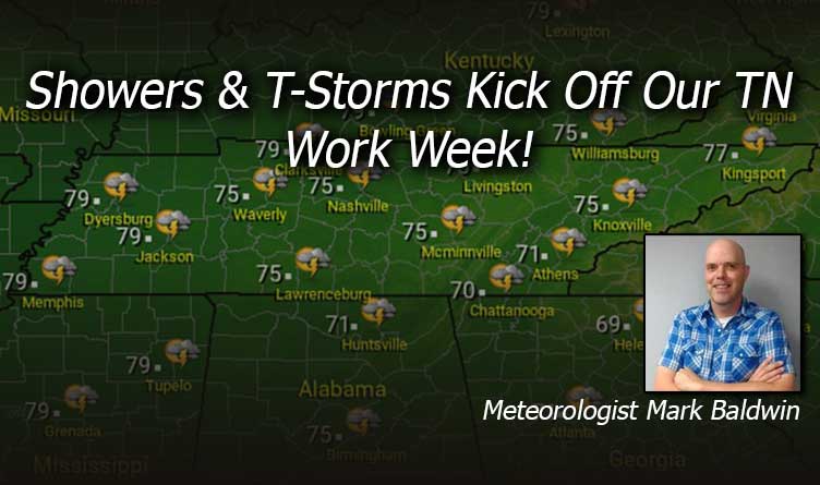
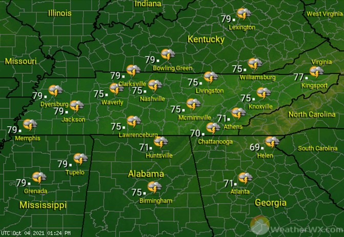
Partly to mostly cloudy skies will kick off our new work week, with a chance for a shower or thunderstorm, especially in the afternoon and evening. Afternoon highs will climb into the mid to upper 70s.

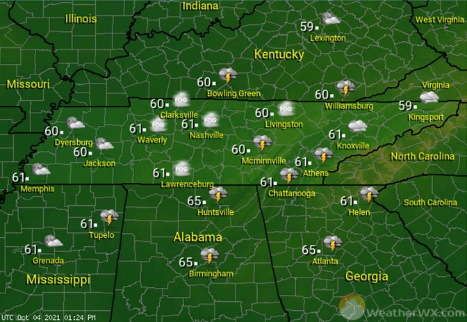
Expect a warm and muggy Monday night, with areas of patchy fog. A shower or storm is also possible for mainly areas along and near the Cumberland Plateau and southeast Tennessee. Overnight lows will be near 60 degrees statewide.
Look for a rainy and thundery Tuesday across the state. Some of that rainfall could be heavy. Rain and clouds will hold high temps in the mid to upper 70s.
Visit Meteorologist Mark Baldwin on Twitter, Facebook and at meteorologistmark.com.

