Weather Images created by WeatherWX.com
By Meteorologist Mark Baldwin –
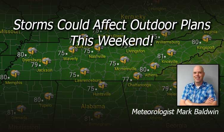
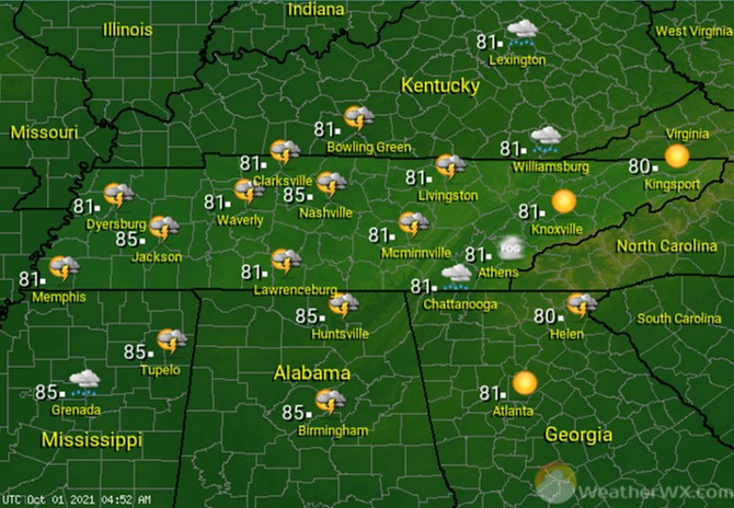
The week will end with partly to mostly sunny skies across the state. Those passing clouds may produce a few showers and thunderstorms for western and central regions of the state. Afternoon highs will reach the low to mid 80s statewide.

A clear to partly cloudy night is in store for the state, with a slight chance for a shower or storm across the west. East Tennessee will need to be aware of patchy dense fog that may form during the night. Overnight lows will fall to near 60 degrees for much of East Tennessee and the Cumberland Plateau, while areas west of the plateau will see overnight lows in the mid to upper 60s.

Skies will once again be partly to mostly sunny across the state, with another chance for a shower or thunderstorm across mainly West and Middle Tennessee. Those storm chances are not a washout, by any means, but it’s a storm chance you need to be aware of if you have outdoor plans. Afternoon highs will once again climb into the low to mid 80s statewide.
Showers and thunderstorms are looking likely for Sunday across the state. If you’re wanting to get outside this weekend, Saturday is the better day for that. Afternoon high temperatures will climb into the mid to upper 70s for most.

Visit Meteorologist Mark Baldwin on Twitter, Facebook and at meteorologistmark.com.

