Weather Images created by WeatherWX.com
By Meteorologist Mark Baldwin –
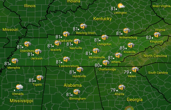
A very warm and humid airmass will lead to scattered showers and thunderstorms across the state today, especially in the afternoon and evening. Rain chances are set at about 50% for West and Middle Tennessee, dropping to around 30% for East Tennessee. Any storm that develops could produce heavy rainfall. Clouds and increased rain chances should keep afternoon highs in the low to mid 80s.
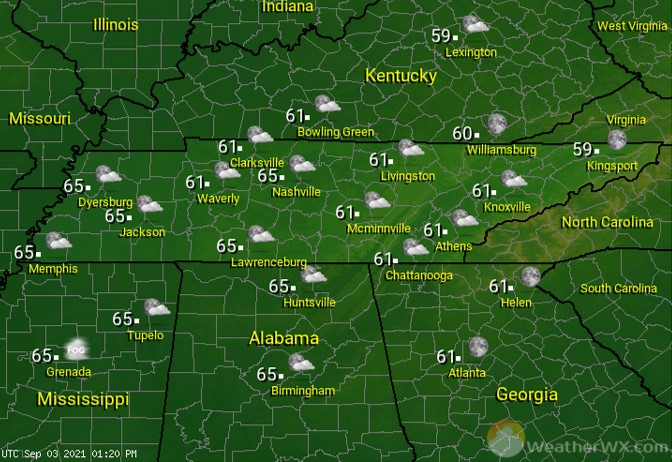
Rain chances drop off a bit for the night to around 30%. Otherwise, look for mostly cloudy skies and humid overnight lows around 70 degrees.
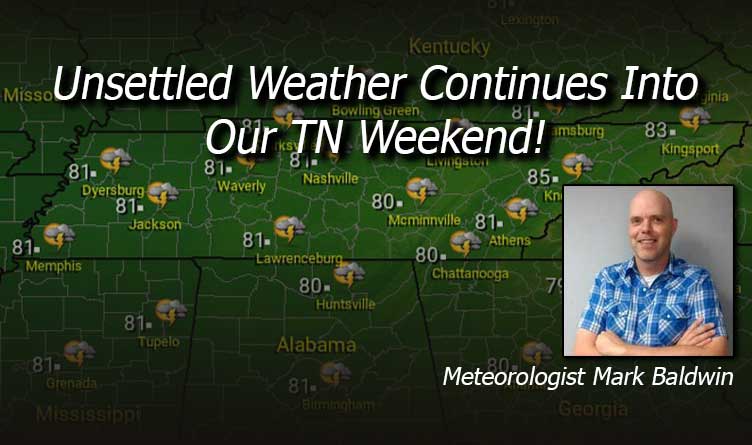
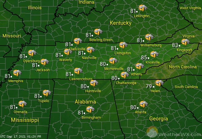
Unsettled weather continues into the weekend, with both Saturday and Sunday featuring partly to mostly cloudy skies across the state and scattered showers and thunderstorms, especially in the afternoons and evenings. Look for afternoon highs each day to be in the low to mid 80s statewide. If you have outdoor plans, keep an eye to the sky and be ready to seek shelter from nearby lightning.
Visit Meteorologist Mark Baldwin on Twitter, Facebook and at meteorologistmark.com.

