Weather Images created by WeatherWX.com
Published July 7, 2021
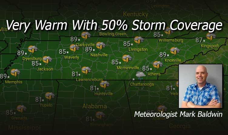
By Meteorologist Mark Baldwin –
A very warm and humid day is on tap for Tennessee. There will also be lots of clouds, especially in the middle and eastern sections of the state, due in part to Tropical Storm Elsa passing to the southeast. That warmth and humidity will likely lead to scattered showers and thunderstorms, especially by the afternoon. That storm coverage is expected to be about 50%. Afternoon high temps should climb into the mid to upper 80s.
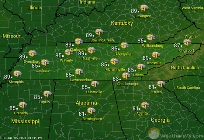
Most of our evening showers and storms should dissipate by midnight, leaving us with a partly to mostly cloudy and muggy night. Overnight lows should drop to around 70 degrees statewide.

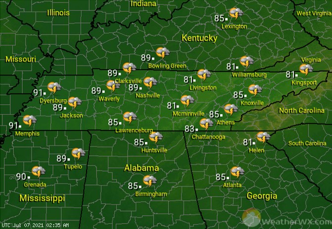
Thursday will be another warm and humid day that will likely lead to scattered afternoon and evening showers and thunderstorms. Otherwise, look for partly to mostly cloudy skies and highs in the mid to upper 80s, except on the plateau and upper East Tennessee, where more clouds and slightly higher rain chances will keep high temps in the lower 80s.
Visit Meteorologist Mark Baldwin on Twitter, Facebook and at meteorologistmark.com.

