Weather Images created by WeatherWX.com
Published June 11, 2021
By Meteorologist Mark Baldwin –
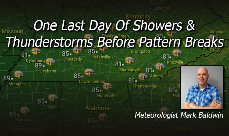
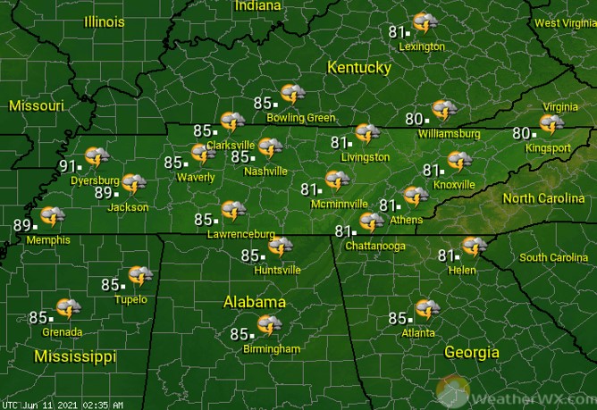
We have one last day of scattered showers and thunderstorms before this pattern breaks. Like all of the storms this week, storms today could produce very heavy rainfall, deadly cloud-to-ground lightning, and gusty winds. Clouds and showers will keep temperatures in the low to mid 80s for many of us.
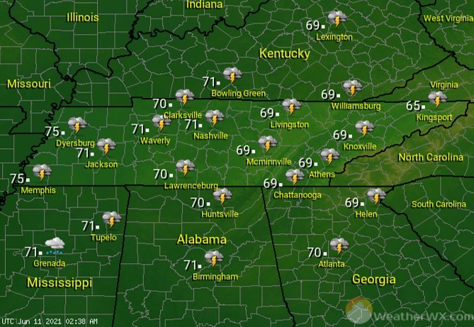
Shower and thunderstorm chances drop off overnight, but there will likely be some lingering showers and thunderstorms scattered about the state. It’s to be another humid night, with lows around 70 degrees statewide.
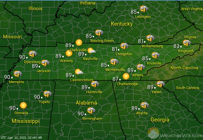
Rain chances drop to about 30% for the state on Saturday. With fewer clouds and showers around, temperatures will be able to warm into the mid to upper 80s for much of the state. It will continue to be humid, making it feel much warmer than it really is. Be sure and stay cool and hydrated.

For Sunday, look for partly to mostly sunny skies across the Volunteer State, with only a slight chance for a shower or storm. High temperatures will warm into the mid to upper 80s for much of the state. High humidity levels will make it feel much warmer. An overnight cool front will usher in less humid air for the new workweek!
Visit Meteorologist Mark Baldwin on Twitter, Facebook and at meteorologistmark.com.

