
Weather Images created by WeatherWX.com
By Meteorologist Mark Baldwin –
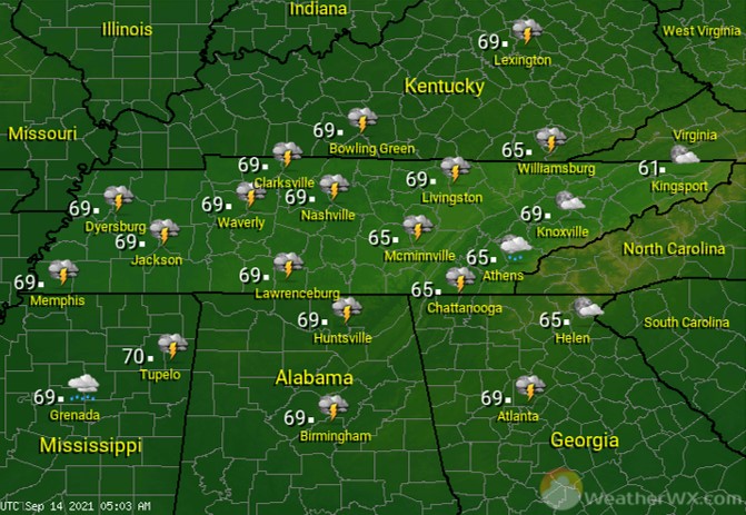
A strong cold front making its way across the state over the next 24 hours will bring numerous showers and thunderstorms to the region. Some of the rainfall could be heavy and a few of the storms could be on the strong side. Afternoon highs will top out near 80 degrees.

The passing cold front will continue to produce showers and thunderstorms into the night. Again, some of that rainfall could be heavy and a few of the storms could be strong. Overnight lows will fall to near 60 degrees.
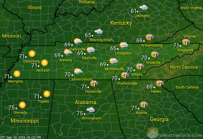
Rain and clouds will gradually clear out from west to east on Wednesday. Afternoon highs will generally be around 70 degrees statewide, with cooler temperatures expected on the Cumberland Plateau.
Visit Meteorologist Mark Baldwin on Twitter, Facebook and at meteorologistmark.com.

